


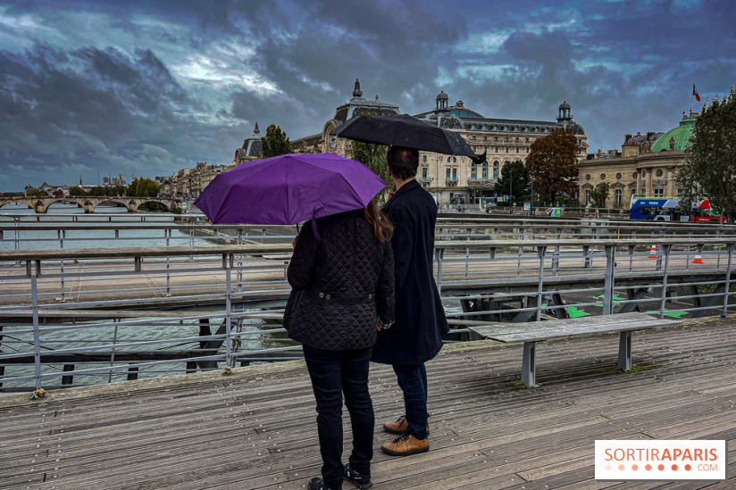
Paris and the wider Ile de France region are under an orange storm alert. Forecasters issued the warning this week. It covers the risk of hail and strong wind gusts. The alert follows a stretch of hot, unstable weather. Temperatures had climbed close to 29 degrees Celsius in recent days. That heat helped build the storm system now moving through the region.
Local weather teams say the storms will bring sharp bursts of rain. Some areas may see hail. Gusty winds are also likely during the afternoon and evening hours. Officials are asking residents to take basic safety steps. These include securing loose outdoor items and avoiding travel during the worst of the storms. Parents are also being told to keep children away from parks and open spaces when lightning is active.
The timing is tricky for many Parisians. This weekend marks the last one before the school year begins. Families are trying to finish summer trips and errands. Public transport in the region is already strained. Several metro, RER, and Transilien lines face planned maintenance work this same week. That mix of storms and transit disruption could make travel harder than usual.
Public transport operators say some lines will pause service earlier in the evening. Others are running with reduced frequency. Riders are urged to check schedules before heading out. The disruption is expected to ease once the maintenance work wraps up later in September.
This burst of stormy weather also arrives at the tail end of a hot summer. The region saw a heatwave break just weeks ago. Cooler, more unsettled conditions have followed. Meteorologists say this pattern is common in late August. Warm, humid air collides with cooler fronts moving in from the west. That clash often produces short, intense storms rather than steady rain.
Emergency services in the Paris region are on standby. Crews are ready to respond to fallen trees, flooding, or storm damage. Residents in low-lying areas are advised to watch for sudden water buildup. Basements and underground parking areas are most at risk during short, heavy downpours.
Farmers in the wider region are also watching the storms closely. Hail can damage late-summer crops and vineyards. Grape growers in particular are keeping an eye on the sky, since many vineyards are close to harvest. A hard hailstorm at this stage of the season could hurt yields just before picking begins.
City officials say drainage systems across Paris have been checked ahead of the storms. Crews cleared debris from key storm drains earlier this week. This step aims to reduce flooding risk on major roads and in low-lying neighborhoods. Similar checks were carried out after storms passed through the region last month.
Despite the alert, most daily life is continuing as normal. Shops, markets, and outdoor events are still open. Organizers of weekend markets and fairs say they are watching the forecast hour by hour. Some events may pause briefly if lightning gets too close.
Residents are advised to keep monitoring official weather updates through the weekend. Conditions can shift quickly during this kind of storm pattern. Local authorities say they will lift the alert once the risk passes. For now, the message is simple: stay alert, stay indoors during the worst bursts, and plan travel with extra time built in.
